
Brochure - Geographic Information System (GIS) Census 2013
Understanding the needs of a wide range of different users, and their education for the proper use of data, we have created a brochure for the Geographic Information System (GIS) with interactive thematic maps that represent the central and main part of the Census 2013 publication portal.
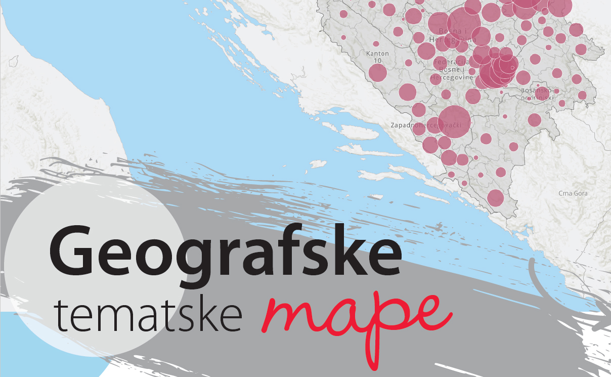
The problem we are addressing is the under-utilization of statistics in the decision-making process, the development of programs, policies, and the inability to easily measure their results. The GIS portal supports the overview of thematic maps up to 5 levels (BIH, entities / District, cantons, municipalities, populated areas).
Brochure - Geographic Information System (GIS) Census 2013